Met Office Issues Yellow Weather Warning as Storm Éowyn Threatens Chaos with 60mph Winds in Worcestershire and Pembrokeshire
New storm to hit UK with 60-90mph gusts, risking power cuts, travel disruption, and danger to life from flying debris.
The Met Office has issued a yellow weather warning as Storm Éowyn approaches the UK, bringing winds of up to 60mph inland and a staggering 90mph along coastal areas. Expected to hit on Friday (January 24), this storm is far more than a typical weather disturbance—it’s a powerful force likely to leave destruction in its wake. From power outages and travel chaos to life-threatening flying debris, Storm Éowyn demands serious attention. Residents in Worcestershire and Pembrokeshire, prepare now—this storm is heading your way.
What’s at Stake?
Ferocious Winds: Inland gusts could reach 50-60mph, while coastal and hilly areas may endure 80-90mph winds. Expect the potential for roofs to be torn off, trees to be uprooted, and debris to become dangerous projectiles.
Travel Disruptions: Severe impacts on roads, railways, and ferries are likely. Delays, cancellations, and even road and bridge closures could occur. If you’re planning to travel, reconsider—getting stranded is a real possibility.
Power Outages: Strong winds may knock out electricity, leaving homes without power and disrupting mobile networks. Without torches, batteries, and power banks, you could find yourself literally and figuratively in the dark.
Coastal Dangers: Coastal regions will bear the brunt, with massive waves and flying debris threatening lives and property. The Met Office warns that even standing near the shore could be deadly, as powerful waves may sweep people off their feet.
Who’s in the Path of the Storm?
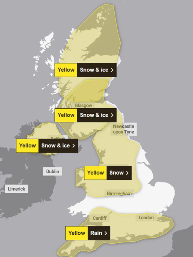
The yellow weather warning extends across Worcestershire, Pembrokeshire, Northern Ireland, northern England, and western Scotland. While inland areas like Worcestershire will experience strong winds, coastal regions such as Pembrokeshire are expected to face the most severe conditions. If you live in these areas, take this warning seriously—the storm is coming, and it’s coming hard.
How to Prepare for Storm Éowyn
Secure Outdoor Items: Ensure that garden furniture, bins, trampolines, and sheds are safely secured. Unsecured items could turn into hazardous projectiles in high winds.
Reassess Travel Plans: Check road conditions and public transport updates before venturing out. If driving is unavoidable, be cautious of sudden gusts that could make driving hazardous.
Stay Away from Coastal Areas: Avoid cliffs, beaches, and other exposed coastal locations. Keep pets on a lead, and remain vigilant to avoid being caught by rogue waves.
The Science Behind the Storm
Storm Éowyn, the fifth named storm of the season, is shaping up to be one of the most dangerous. It is powered by a supercharged jet stream, driven by extreme temperature contrasts over North America. This combination has created a weather system of extraordinary intensity, capable of causing widespread damage across the UK.
Stay Informed
If you’re in the affected areas, don’t wait until it’s too late. Take precautions now—secure your property, prepare for power outages, and stay updated with the latest information from the Met Office. Storm Éowyn is more than just a storm; it’s a serious threat to life and property. Are you ready?
